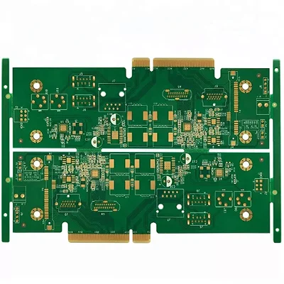
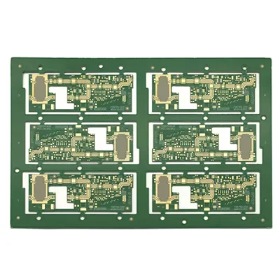
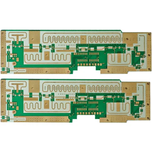
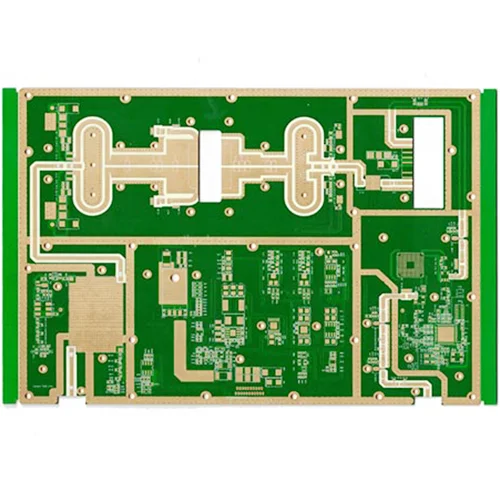
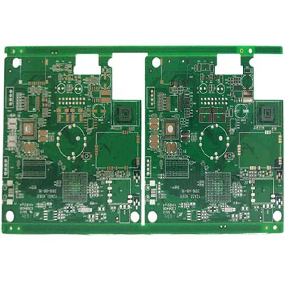
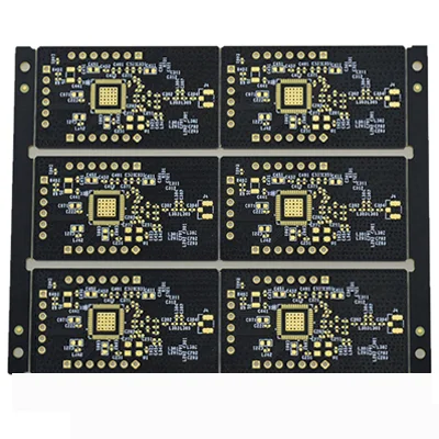
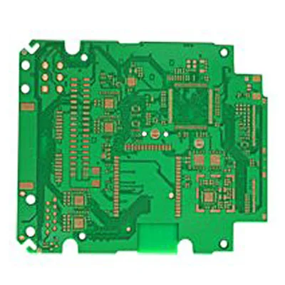
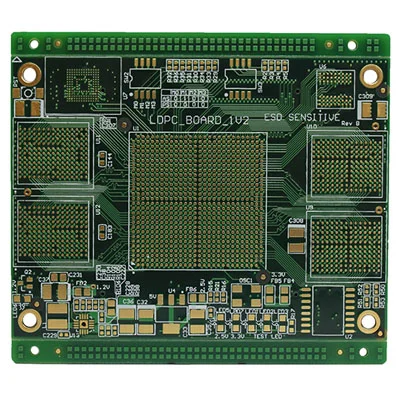
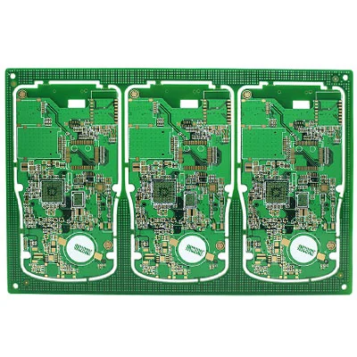
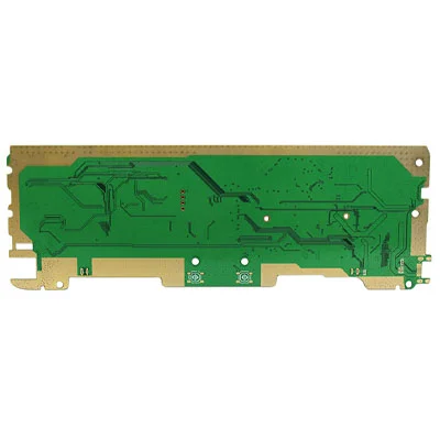
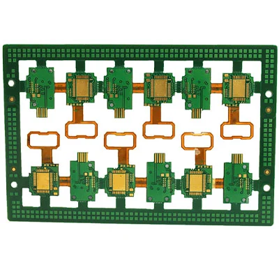
4-layer Tin-spraying Impedance Circuit Board
Send Inquiry
Function:
Vehicle tracking
One of Chinese manufacturer of 4-layer Tin-spraying Impedance Circuit Board, offering excellent quality at a competitive price, is Viafull. Feel free to get in touch. Using GPS and electronic maps, the actual location of the vehicle is displayed in real time, and it can be enlarged, reduced, restored, and changed at will; it can move with the target to keep the target on the screen; it can also realize multi-window, multi-vehicle, and multi-screen tracking at the same time. Use this function to track and transport important vehicles and goods.
Route planning and navigation
Providing travel route planning is an important auxiliary function of the car navigation system, including automatic route planning and manual route design. Automatic route planning is that the driver determines the starting point and end point, and the computer software automatically designs the optimal driving route according to the requirements, including calculating the fastest route, the easiest route, and the route with the least number of trips. Highway section. Manual route design, the driver designs the starting point, end point, and waypoint according to his own destination, and automatically establishes a route library. After the route planning is completed, the display can display the designed route on the electronic map, and at the same time display the vehicle's driving path and driving mode.
Information query
Provide users with zc main objects, such as tourist attractions, hotels, hospitals, etc. database, and users can display their location on the electronic map. At the same time, the monitoring center can query the location of any target in the area through the monitoring console, and the vehicle information will be displayed in digital form on the electronic map of the monitoring center.
Call command
The command center can monitor the operating status of vehicles in the area and reasonably dispatch the monitored vehicles. The command center can also communicate with the tracked targets at any time and implement management.
Emergency assistance
Through GPS positioning and monitoring management system, emergency assistance can be provided to vehicles in danger or accidents. The electronic map of the monitoring station displays the help information and alarm targets, plans the best help plan, and reminds the on-duty personnel to handle the emergency through sound and light alarms.
Data Sheet
| Name: | 4-layer tin-sprayed impedance circuit board |
| Application industry: | automotive electronics |
| Application products: | vehicle-mounted GPS positioning system |
| Number of layers: | 4 |
| Special process: | impedance board |
| Surface treatment: | lead-free tin-sprayed |
| Material: | FR4 |
| Outer line width/line spacing: | 4/4mil |
| Inner line width/line spacing: | 7/6mil |
| Board thickness: | 1.0mm |
| Minimum aperture: | 0.2mm |


